Walking in Borrowdale Valley
The Lake District, Cumbria
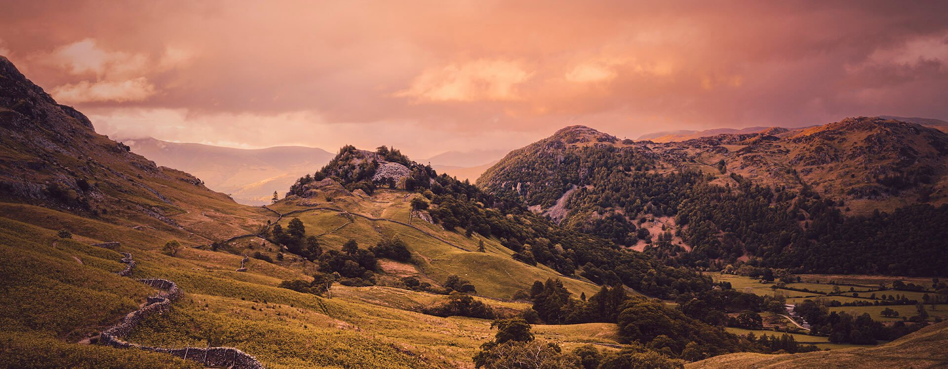
Borrowdale Valley
Borrowdale Valley is on my top 10 list of favourite places to visit, because it’s so scenic and interesting. There’s lots packed into the area including; rivers, waterfalls, woodland, lush pastures, rocky crags and fells. For keen photographers, there’s plenty to keep you busy, and turn what is typically a 3.5 hour walk into a 5–7+ hour photographic adventure. Scafell Pike (977m) sits at one end of the valley, and 10 miles north you’ll find the shores of Derwentwater.
The total ascent for this walk is just over 400m.
Rating: Moderate. There are a few steep sections, and sections of loose uneven trail.
Starting The Borrowdale Valley Loop Walk From Grange
I started my walk at Grange, a lovely village accessed from the B5289 across a two arch bridge built in 1675, about 4 miles from Keswick. Grange means farm, and the monks of Furness Abbey built a monastic grange here in medieval times. There’s a lovely little tea shop and cafe from where you can grab a coffee and snack, in readiness for what is an incredibly scenic 12 km loop walk.
You head out of Grange along a narrow lane through farmland, which turns into a narrow dirt footpath lined with stone walls. You soon come to Derwent River, followed by a steady ascent up a rocky trail that runs through woodland, before passing by Castle Crag. A quick but rather steep zig-zag detour over loose slate takes you to the summit of Castle Crag, offering incredible views of the valley.

From Castle Crag, the trail works its way along the side of the valley, passing stone walls, over little streams, and then down towards Seatoller, with stunning views of the valley and surrounding fells in the distance. A telephoto lens is useful to have here. Remember to look behind you as you walk this stretch, you get an incredible view northwards, with Castle Crag taking centre stage, and Derwentwater in the distance. The day after I did this walk, I popped back again at the end of the day just to photograph this view in low light, and it was worth the effort!


When you reach Seatoller, which sits at the foot of Honister Pass, you have walked about 5kms at this point. There’s an option to catch the number 78 bus back to Keswick if you so desire, or continue on the loop by walking a short stretch of the B5289, and passing Chapel House Farm & Campsite. Then head down a lane towards Stonethwaite, where you turn left just before you reach The Langstrath Country Inn, and cross the River Derwent. Once across the river, turn left again to follow a narrow footpath which is heads northwards Rosthwaite. The trail runs to the right of Rosthwaite, and crosses Hazel Bank Drive. Once crossed, you keep veering right, past Hazel Bank Country House Hotel, and start another ascent, where more stunning valley views will greet you. After about 0.85km, you’ll come to a gate on your left side with a “Keswick Bowderstone” sign set in the stone wall. Pass through the gate and follow this route. The footpath works its way down again, towards the B5289, where you walk a short distance before turning right onto a footpath once more, taking you into the woods. You’ll come across one of the region’s most famous landmarks, the 30 foot high Bowder Stone, before continuing through woodland to reach the B5289 once again. A very short distance further, and you’re at the stone bridge that takes you back to Grange.
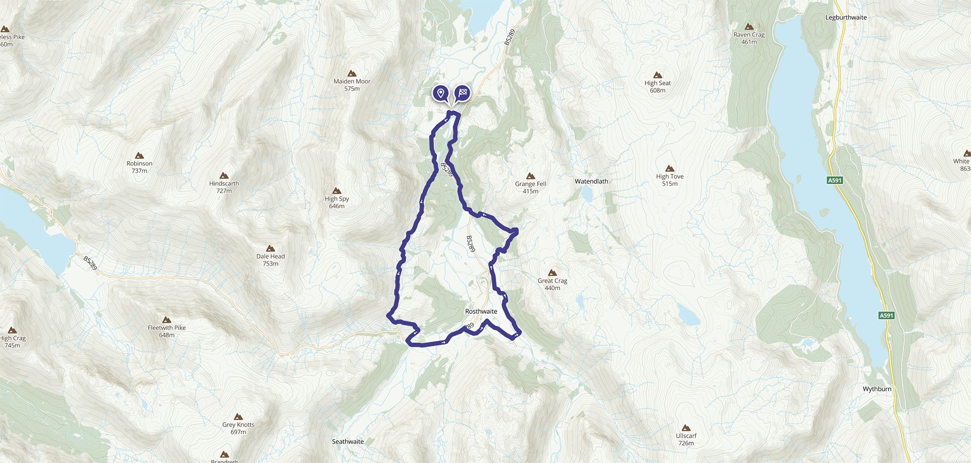
To get a better idea of this 12km walk, watch the video below, and check out the route on my Ordnance Survey map.